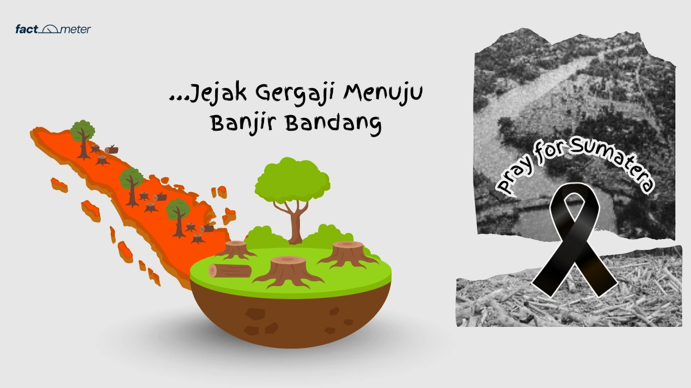
The flash floods and landslides that struck several areas on Sumatra Island in late November and early December 2025 were one of the deadliest disasters in the past decade.
The impact was widespread: hundreds of lives were lost, main roads were cut off, bridges were damaged, hundreds of homes were swept away, and numerous public facilities were rendered inoperable.
This tragedy once again demonstrated that disasters are not simply weather-related, but the result of policy structures that gradually create vulnerability. The primary issue is not simply rainfall intensity, but the socio-ecological conditions long shaped by political decisions.
According to data from the National Disaster Management Agency (BNPB), as of December 1, 2025, 604 people were killed and 464 were missing. More than 570,000 residents were displaced, and 1.5 million people were affected. A total of 2,600 residents were injured, and physical damage included 3,500 houses severely damaged, 4,100 moderately damaged, 20,500 lightly damaged, 271 bridges affected, and 282 educational facilities damaged.
Deforestation and Worsening Ecological Vulnerability
At the regional level, reports from international organizations indicate that Indonesia was the country with the highest number of victims in the series of floods and landslides in South-Southeast Asia during the same period. This fact also demonstrates that the vulnerability faced by communities is the result of structures that have long allowed risks to accumulate.
In a meeting with Commission V of the House of Representatives (DPR), Basarnas highlighted the location of settlements as a crucial factor in the high number of victims. Many residents live on riverbanks, steep slopes, and ridges that are geomorphologically unsafe.
However, this explanation only scratches the surface of the problem. Settlements in vulnerable locations are a consequence of unfair distribution of space, unaffordable land prices, and development policies that prioritize certain interests over public safety.
One study shows that poor communities tend to be concentrated along riverbanks and landslide-prone slopes because secure land is unaffordable, placing vulnerable groups at greater risk of disaster (Aditya & Laksono, 2022, Journal of Urban Affairs). In other words, people live in hazardous areas because the spatial planning system places them there.
Furthermore, a recent spatial analysis of North Sumatra confirmed that many areas are at “high” to “very high” risk for flooding and landslides based on slope gradient, landform, and land cover (GIS Research Team, 2024).
Ecological damage in Sumatra also exacerbates the impact of disasters. According to data from the Central Statistics Agency (BPS), the 2021–2022 period alone recorded 16,782 hectares of forest cover loss in Aceh, West Sumatra, and North Sumatra.
Meanwhile, the Global Forest Watch (GFW) platform shows even greater natural forest loss: 74,000 hectares of Aceh’s forests were lost in 2021–2024, 10,800 hectares of West Sumatra’s forests were lost in 2024, and 8,100 hectares of North Sumatra’s forests were lost in a year, for a total of around 67,000 hectares lost in the last three years.
These findings align with academic research. A 2024 study confirmed that deforestation in Sumatra significantly contributes to increased flash floods and landslides, particularly in areas with critical land cover and steep slopes (Sulastri et al., 2024, Law and Justice Journal).
Another study by Margono et al. (2014) showed that the loss of Sumatra’s primary forests has eliminated their crucial hydrological function as water retention and soil stabilization. Without ecological buffers, surface water flow increases sharply during extreme rainfall events.
A 2020 FAO report on forest hydrology also corroborates these findings: large-scale deforestation alters watershed characteristics, accelerates surface runoff, and reduces soil infiltration capacity, creating ideal conditions for flash floods.
Looking longer term, environmental research notes that Sumatra has lost approximately 7.5 million hectares of forest in two decades. Such extensive ecological damage is certainly not a natural occurrence, but rather the result of a political-economic structure that allows for industrial expansion, large-scale land clearing, and minimal oversight. The loss of forests means that the ecological function that maintains soil stability and reduces the potential for flash floods is no longer functioning.
Illegal Logging, Weak Law Enforcement, and Repeating Patterns
Investigative efforts into illegal logging have also strengthened the suspicion of a link between forest destruction and disasters. The Ministry of Environment and Forestry (KLHK) is still tracing the source of large quantities of large timber found in Batang Toru, North Sumatra.
Studies on forestry crime indicate that timber laundering often occurs through the manipulation of permit documents, making illegal timber appear as legally logged. Weak oversight allows this mechanism to continue to recur.
A 2023 study in the International Journal of Disaster Risk Reduction confirmed that land cover change, particularly the conversion of forests to plantations and mining, is strongly correlated with an increased frequency of hydrometeorological disasters in Indonesia (Na’in & Mustofa, 2023).
Although the Ministry of Environment and Forestry (KLHK) stated that the wood could have come from various sources, law enforcement records throughout 2025 show a recurring pattern: the confiscation of 86.6 cubic meters of illegal timber in Central Aceh, 152 logs plus heavy equipment in Solok, and more than 4,600 cubic meters of timber during operations in the Mentawai Islands and Gresik. This pattern also illustrates that forest destruction is a consequence of a weak licensing system and inconsistent law enforcement practices.
Scientifically, the link between deforestation and the risk of flash floods and landslides is clear. Slopes lose their natural barriers, surface water flow increases dramatically, and the soil becomes vulnerable to erosion. Under these conditions, even intense extreme rainfall is only a trigger, not the primary cause, of the disaster.
Systemic weaknesses are also evident in the dissemination of information and early warnings. In some areas, residents do not receive warnings early enough or lack the knowledge to respond. This situation demonstrates that disaster mitigation is still viewed as an add-on, not a fundamental need for development.
The government is currently focusing on emergency response, but these measures do not address the root cause of the problem. As long as spatial planning remains loose and forests are considered a commodity to be exploited without limit, similar disasters will continue to recur.
The flash floods and landslides in Sumatra are the clearest illustration that risks are created and amplified by policies, neglect, and inequities in the management of living spaces. Unless structural changes are implemented, tragedies like this are only waiting to happen again. (*)